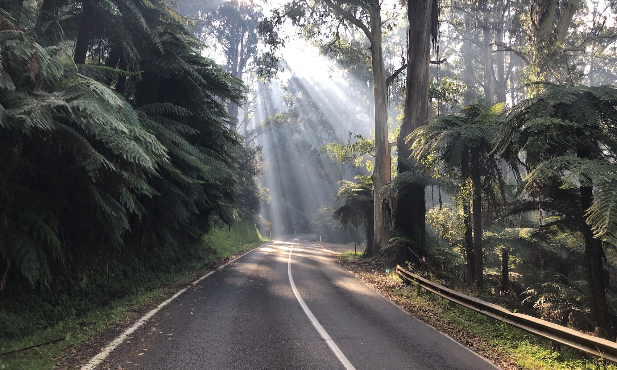
Following on from his effort to map all of the sealed climbs in Victoria, David Blom has created the map above showing the significant sealed climbs in Western Australia.
Each of the pins represents a different climb and you can click on each pin to learn more about the climb it represents, including a link to the Strava segment, Google Maps file or other way of showing you where the climb starts and where it finishes.
The colour of the pin shows how tough the climb is:
- Green = 4th category
- Blue = 3rd category
- Yellow = 2nd category
- Red = 1st category
- Pink = hors categorie (highest category) climbs
- Purple = short, steep roads that have an elevation gain of less than 80 metres.
A climb’s category depends almost entirely on the amount of elevation it gains from start to finish:
- 4th category: climbs with an elevation change of 100m-300m
- 3rd category: climbs with an elevation change of 300m-600m
- 2nd category: climbs with an elevation change of 600m-1000m
- 1st category: climbs with an elevation change of 1000m-1500m
- Hors categorie: climbs with an elevation change of 1500m+
These ranges are only a guideline and there a number of factors that can ensure a climb is categorised as harder than its elevation would suggest, the most significant of which is particularly steep sections.
For example, Mt. Baw Baw’s 962m of elevation gain should make it a 2nd category climb, but given the extreme gradient of the final 6km, Mt. Baw Baw is more than worthy of a HC categorisation.

David – Thanks for the work in putting these climbs up. I have recently become interested in doing some hill climbing, despite the comparative flatness of WA compared to Victoria. I am generally good on hills, having the advantage that my weight (55 kg) is less than my age (66). I did the circuit Midland – Mundaring – Mundaring Weir – Kalamunda – Midland yesterday and really enjoyed getting up in the hills again.