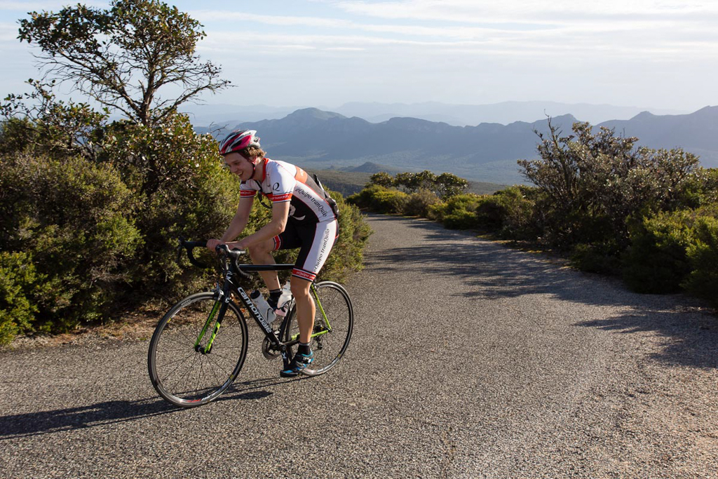
New climb added to the site: Mt. William
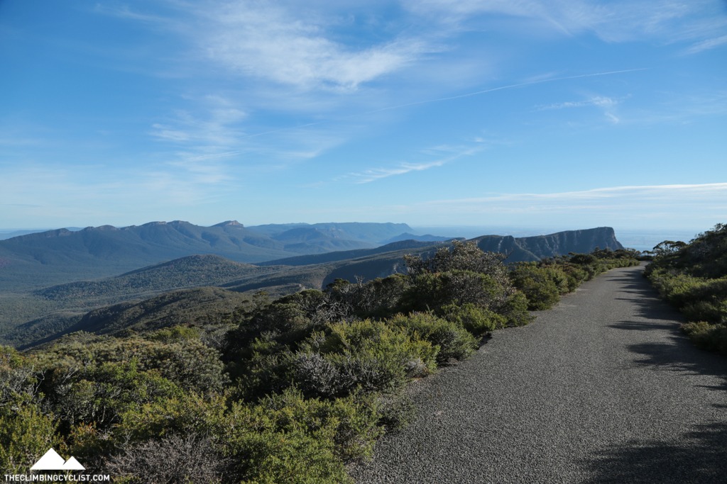
Mt. William is the highest point in the Grampians National Park and with a brutally tough 1.9km section just before the summit it's not a climb to be taken lightly. But the amazing views throughout, and particularly near the top, make this climb more than worth the effort. Read more “New climb added to the site: Mt. William”