Skip to content

The Climbing Cyclist

The joy of riding uphill & a guide to Victoria's best climbs.

  • Home
  • Climb guides
    • Arthurs Seat
    • Boroka Lookout
    • Buckland Gap
    • Chum Creek Road
    • Dinner Plain
    • Falls Creek (Mt. Beauty side)
    • Falls Creek (Omeo side)
    • Humevale Road
    • Inverness Road
    • Kinglake
    • Lake Mountain
    • Mt. Baw Baw
    • Mt. Buffalo
    • Mt. Buller
    • Mt. Buninyong
    • Mt. Donna Buang
    • Mt. Hotham
    • Mt. Macedon (Gisborne side)
    • Mt. Macedon (Woodend side)
    • Mt. William
    • Myrtleford-Stanley Road
    • One Tree Hill (Ararat)
    • Panton Gap (Healesville side)
    • Perrins Creek Road
    • Reeds Lookout
    • Skenes Creek Road
    • Skyline Road
    • Tawonga Gap (Bright side)
    • Tawonga Gap (Mt. Beauty side)
    • Terrys Avenue
    • The 1 in 20
    • The Crescent
    • The Devil’s Elbows
    • The Wall
    • Wild Dog Creek Road/Busty Road
  • The science of climbing
    • Gradients and cycling: An introduction
    • Gradients and cycling: How much harder are steeper climbs?
    • Science of climbing: Why power-to-weight ratios matter
  • About
  • Contact
  • Archives
  • Buy my book!

Tag: Victorian Alps

Posted on January 4, 2013March 23, 2013

7 Peaks Domestique Series ride #5: Falls Creek

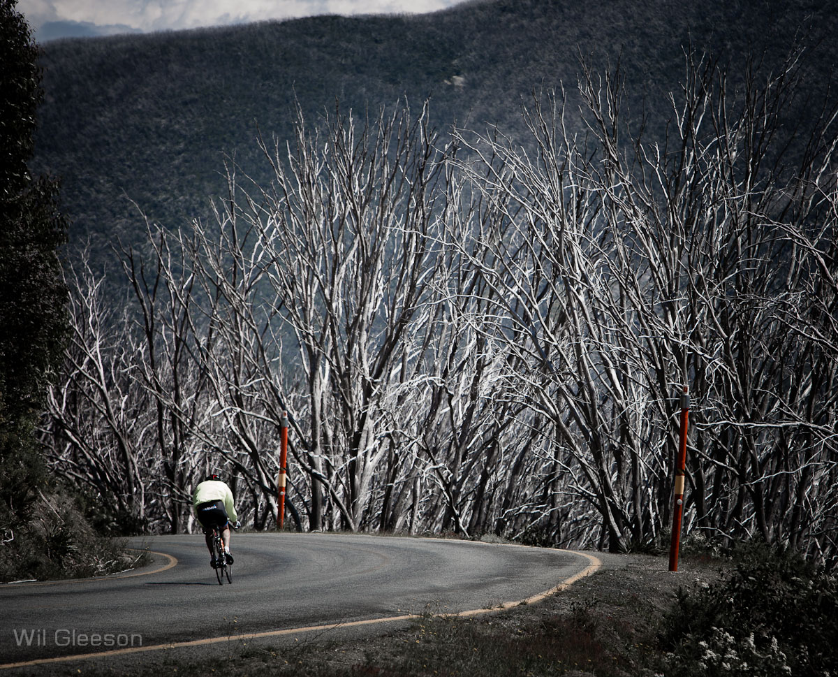
As a cyclist in Melbourne, there are no shortage of great riding routes nearby. Beach Road is pretty much at our doorstep, the Dandenongs are close to hand and the Kinglake Ranges are only an hour's ride away. But as good as these areas are for a weekend ride, they fade into the background when placed next to the Victorian Alps. Read more “7 Peaks Domestique Series ride #5: Falls Creek”
Posted on January 7, 2012

Episode 8: a warm welcome to the Alps

Route: Falls Creek to Tawonga Gap, return
Distance: 82.6km
Duration: 3 hours 35 minutes

This is the first of three posts about my recent trip to the Victorian Alps. I stayed at Falls Creek courtesy of Quay West Resort & … Read more “Episode 8: a warm welcome to the Alps”

Posted on February 15, 2011

Episode 18: The high country double-header

Route: Myrtleford to Dingo Dell, return
Distance: 109.5km
Duration: 5 hours 4 minutes

Part of me wishes that the Victorian Alps were a little … Read more “Episode 18: The high country double-header”

Posted on January 3, 2011January 3, 2011

Episode 8: Ups and downs in the Victorian Alps

View from the Tawonga Gap

It’s been a couple of days since I returned from my Victorian Alps expedition and I’ve had some time to reflect on the trip as … Read more “Episode 8: Ups and downs in the Victorian Alps”

TCC on social media

Updates to my 'Everesting' book

Follow the link to see what's changed since the book came out in September 2021.

The science of climbing

  • An introduction to gradients
  • How much harder are steeper climbs
  • Why power-to-weight ratios matter

Climb guides

  • Arthurs Seat
  • Boroka Lookout
  • Buckland Gap
  • Chum Creek Road
  • Dinner Plain
  • Falls Creek (Mt. Beauty side)
  • Falls Creek (Omeo side)
  • Humevale Road
  • Inverness Road
  • Kinglake
  • Lake Mountain
  • Mt. Baw Baw
  • Mt. Buffalo
  • Mt. Buller
  • Mt. Buninyong
  • Mt. Donna Buang
  • Mt. Hotham
  • Mt. Macedon (Gisborne side)
  • Mt. Macedon (Woodend side)
  • Mt. William
  • Myrtleford-Stanley Road
  • One Tree Hill (Ararat)
  • Panton Gap (Healesville side)
  • Perrins Creek Road
  • Reeds Lookout
  • Skenes Creek Road
  • Skyline Road
  • Tawonga Gap (Bright side)
  • Tawonga Gap (Mt. Beauty side)
  • Terrys Avenue
  • The 1 in 20
  • The Crescent
  • The Devil's Elbows
  • The Wall
  • Wild Dog Creek Road/Busty Road

SEARCH

SOCIAL

Proudly powered by WordPress. Twenty Seventeen theme modified by Matt de Neef.